
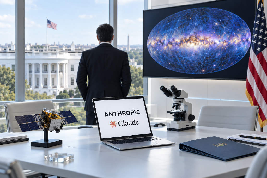
Anthropic said on Oct. 8 that it will invest $150 million over the next three years to support the U.S. government’s Genesis Mission, providing Claude to more than 15 participating federal agencies, including NASA, the National Institutes of Health (NIH), and the National Science Foundation (NSF). The commitment was announced at the White House Office of Science and Technology Policy’s “Science: The New Golden Age” summit in Washington.
The Genesis Mission is a federal program under the Trump administration aimed at speeding up scientific and technological discovery with AI. Anthropic said it joined the effort through a partnership with the U.S. Department of Energy announced in December last year, and has since expanded Claude’s use across national laboratories.
$150 million to cover models, API credits, and technical support
According to the announcement, Anthropic will provide Claude, Claude Code, and API credits to hundreds of Genesis Mission research projects during the three-year period. The company said it will work closely with agencies and national laboratories in priority scientific fields for the U.S. government, including fusion energy and quantum computing.
Anthropic also said it will offer training, onboarding, and technical support for scientists involved in the program, helping agencies that are newly entering the initiative launch their first batch of projects.
The company has made several moves in scientific research this year. Those include launching Claude Science, an AI workspace that integrates commonly used research tools; opening 10,000 free or discounted Claude seats to academic scientists; expanding its AI for Science program for high-impact research grants; and releasing a research preview of the “Model Hardware Standard,” a shared specification intended to let AI agents operate lab instruments safely.
Claude Science used to build a complete ultraviolet all-sky map
On the same day, Anthropic published a case study on its science blog describing work by Johns Hopkins astrophysicist Brice Ménard, who used Claude Science to produce what Anthropic described as the first complete all-sky ultraviolet map. Ménard is also a researcher at Anthropic.
Ultraviolet light is absorbed by Earth’s ozone layer, so observations can only be made from space. The largest existing dataset comes from NASA’s GALEX mission, which captured about two-thirds of the sky across roughly 38,000 observations between 2003 and 2013. To avoid damage to its detectors from bright stars, the mission intentionally skipped star-dense regions such as the Galactic plane.
Ménard said that when teaching astrophysics, the ultraviolet sky maps he could show were always “full of holes.”
AI agents filled in areas that had never been observed in ultraviolet
In this project, Claude directed a group of AI agents to search for and download public ultraviolet survey data, calibrate each dataset, and merge them into a common coordinate system. For the roughly one-third of the sky that had never been observed in ultraviolet, Claude learned the relationship between ultraviolet brightness and measurements in other bands, including visible light, infrared, and radio, then estimated missing values and confidence levels for those regions.
Anthropic said the team tested the system by deliberately masking known areas and asking the model to predict them. The error rate came in within about 10%. The final map also incorporated estimated ultraviolet brightness for more than 100 million stars based on data from the European Space Agency’s Gaia satellite.
A flaw missed by two rounds of agent review was found by a human researcher
The work did not proceed cleanly from start to finish. Ménard said that while checking the image one evening, he noticed faint circular bands with slightly different brightness levels in the darkest regions. The issue turned out to be residual airglow from individual GALEX observations that had not been fully removed.
Anthropic said Claude had flagged this as a known issue at the beginning of the project, but the map still passed two rounds of review by other agents. After Ménard pointed out the problem, the agents identified the cause and spent several hours reprocessing all 38,000 observations.
The project went through more than a dozen versions. In the final map, every pixel is labeled as either “measured” or “estimated,” with an uncertainty estimate attached. Ménard said work of this kind, useful for teaching but often too low-priority for research schedules, would previously have taken weeks. This time, he completed it without giving up time from his main research.